Passive optical observation
Optical instruments record reflected sunlight in selected wavelength bands. Clouds, illumination, surface colour and atmospheric conditions shape what is visible.

Humanity has spent decades observing Earth from orbit. VIEWPIECE® is investigating how advanced computation can reveal more of the information those observations contain.
Optical and radar instruments observe Earth through different physical interactions. Knowing what the sensor measured is the start of a defensible interpretation.
Optical instruments record reflected sunlight in selected wavelength bands. Clouds, illumination, surface colour and atmospheric conditions shape what is visible.
SAR transmits microwave pulses and records their echoes. Geometry, roughness, dielectric properties, moisture, wavelength and polarisation affect the return.
Explanatory diagrams · not instrument data. Established measurement principles; their usefulness depends on the sensor, acquisition and question.
A displayed radar image often encodes backscatter brightness. Suitable complex Single Look Complex (SLC) products preserve the in-phase and quadrature samples, commonly written I + iQ, and therefore amplitude and phase. A detected Ground Range Detected (GRD) product has undergone detection and does not retain the complex phase needed for standard interferometric processing.
Phase is not a hidden photograph. It is the angular component of the measured complex signal, shaped by propagation, geometry, scattering and noise. Its value emerges through a carefully designed comparison.
Understand the radar signal ↗A comparison between suitable, coherent acquisitions can carry information about a change in the radar path. It can also contain other physical and instrumental contributions.
In repeat-pass interferometry, the phase difference depends on path length, wavelength, acquisition geometry and the scattering properties of the scene. After accounting for topography and other contributions, it may support an estimate of relative line-of-sight displacement.
For a simple two-way path change, the phase–displacement relationship is often expressed as Δφ = 4π ΔR / λ, subject to the processing sign convention. Phase is wrapped modulo 2π; decorrelation, atmosphere, orbit error, topography and noise can obscure or imitate a deformation signal.
The question is not which reconstruction looks most convincing. It is which physical explanation best accounts for the observations, and how well it survives an independent test.
A physical model describes how a proposed scene, sensor geometry and acquisition would produce a radar observation.
Inference asks which candidate scene properties could produce the recorded data. The answer may be nonunique; assumptions and prior information must remain visible.
Reference measurements, held-out locations or dates, uncertainty ranges and failure cases establish what a result can support.
ViewPiece presents these as research objectives. No new reconstruction method or performance result is claimed on this page.
Read about computational reconstruction ↗Eight distinct research fields link measurement to inference, each with its own evidence requirements and limits.
Research into processing methods that may make more information in existing radar observations available for analysis.
Question to scope
Which signal properties are being lost, hidden or made difficult to interpret by a given processing chain?
Using phase differences between coherent radar acquisitions to investigate relative changes in the sensor-to-target path.
Question to scope
Are the observations sufficiently coherent and well matched in geometry and time for a meaningful comparison?
Studying whether multiple coherent observations can distinguish the vertical distribution of radar scattering within a resolution cell.
Question to scope
Do the available baselines and acquisition geometry support the structural question at the scale required?
Exploring inverse methods that estimate scene properties from measurements, with assumptions and uncertainty made explicit.
Question to scope
What scene properties can the available measurements constrain, and which must come from prior assumptions?
Assessing whether radar, optical, elevation and contextual sources can answer a question more reliably together.
Question to scope
Can the datasets be aligned in space, time, scale and reference without concealing disagreement?
Designing views that distinguish input measurements, derived estimates, missing information and uncertainty.
Question to scope
Can an institutional user see what was observed, what was calculated and how confident the interpretation is?
Research into data handling that keeps measurements, metadata and processing history connected throughout analysis.
Question to scope
Can a result be reproduced from traceable inputs without avoidable conversion or loss of relevant information?
Planning how derived outputs could be compared with independent observations and evaluated for a defined use.
Question to scope
What reference data, metrics, operating conditions and failure cases would make a result meaningful?
Archaeology, agriculture, infrastructure, geology, water and coastal systems each need observations suited to the physical process being studied.
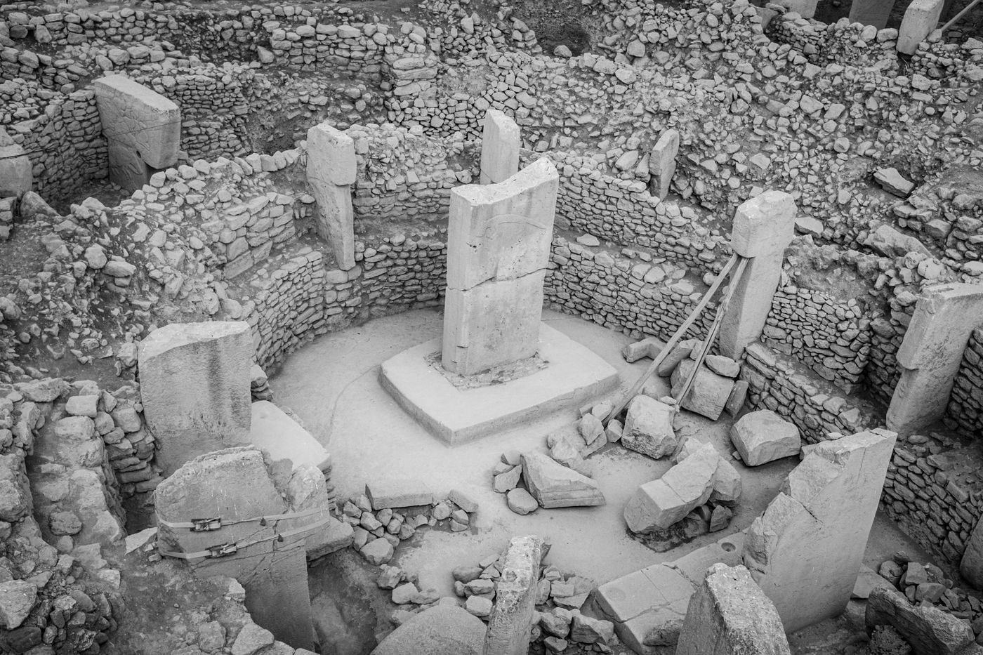
Assessing how Earth-observation records may support landscape context, site stewardship and change monitoring around cultural heritage.
Explore the research ↗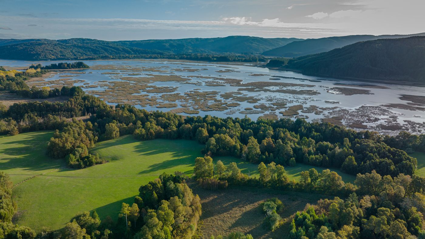
Scoping observation questions concerning coastlines, wetlands, forests, glaciers and other changing environments.
Explore the research ↗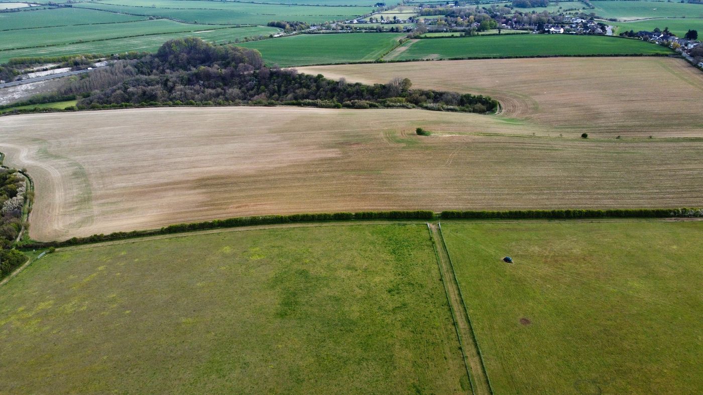
Exploring whether repeated radar observations can contribute to a specific agricultural or vegetation question.
Explore the research ↗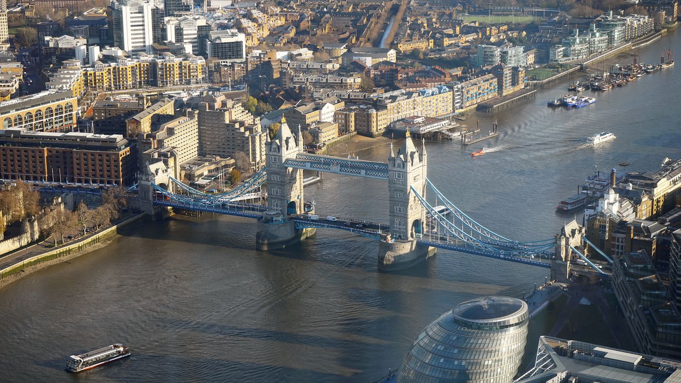
Assessing whether time-series observations could support a defined study of surface change near infrastructure.
Explore the research ↗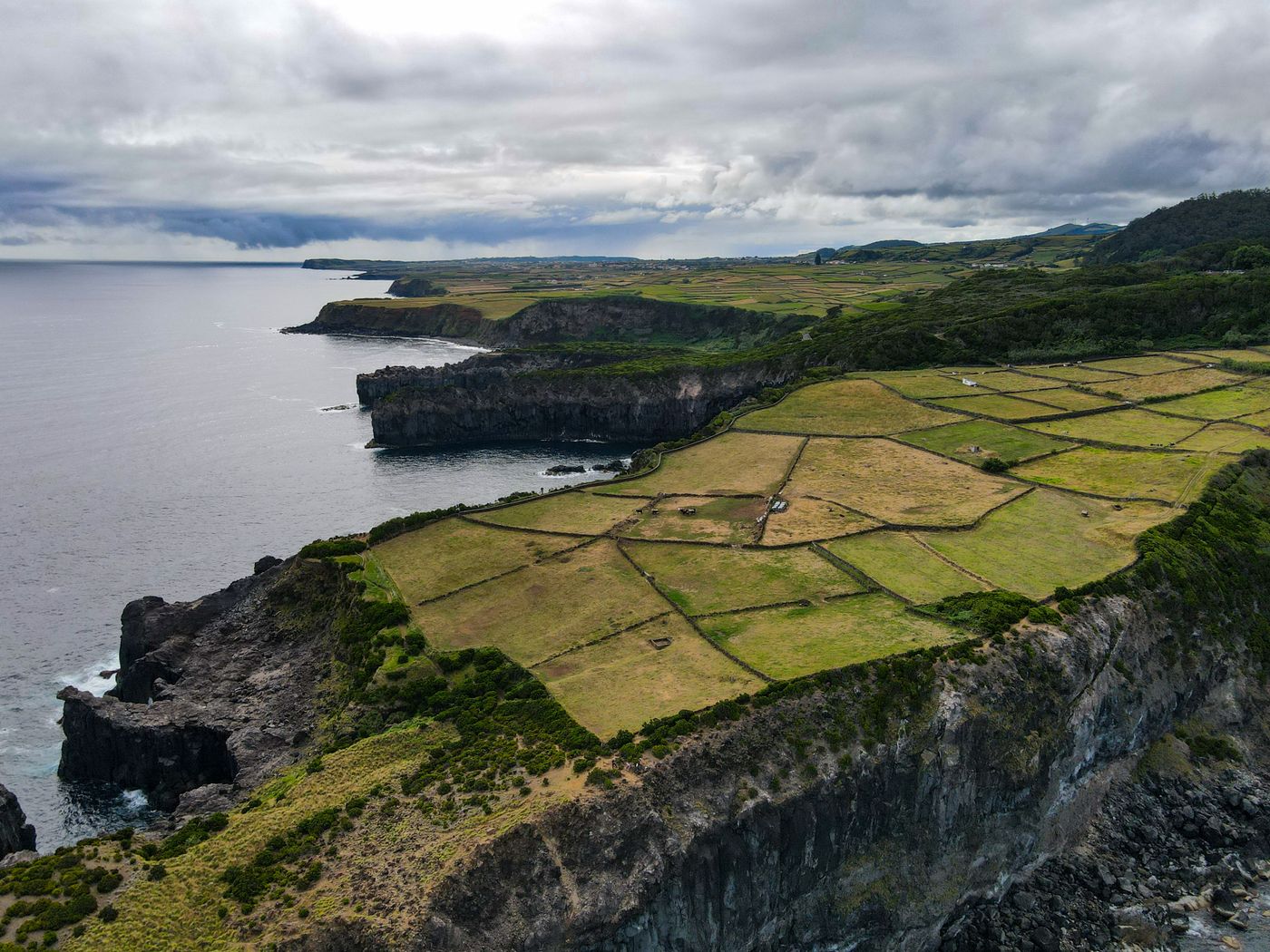
Scoping the use of radar time series to investigate surface deformation in geological settings.
Explore the research ↗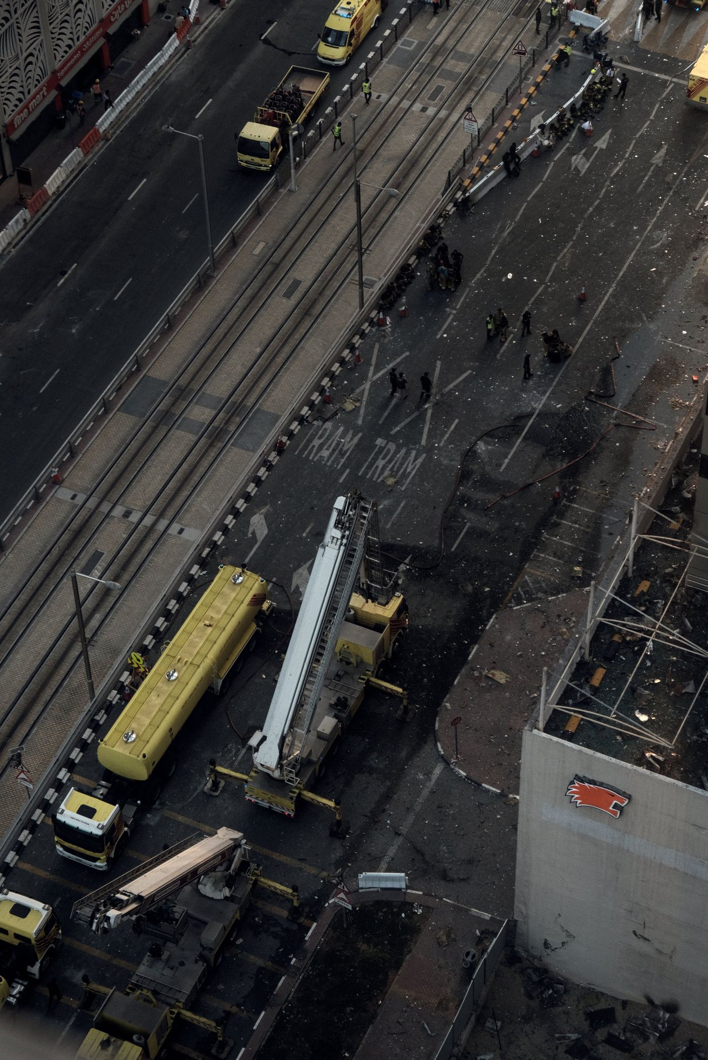
Evaluating whether available Earth-observation acquisitions could contribute to a defined response or recovery question.
Explore the research ↗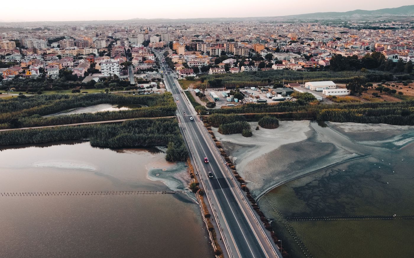
Combining authorised geospatial evidence to examine regional change, resilience or planning questions.
Explore the research ↗
Assessing whether radar observations can support a bounded study of coastal change, maritime conditions or vessel-like detections.
Explore the research ↗Verdant Resolution is a proposed controlled experiment around a four-metre-square grass plot. It asks whether carefully defined changes in a living canopy can be distinguished from moisture, wind, geometry, soil and coherence effects using appropriate observations and independent ground truth.
Target change sensitivity — 1.02 µm
Proposed experimental benchmark. Not validated orbital performance.
The Observatory is an educational interaction built from synthetic terrain. ViewPiece Command is a future product concept, not an operational platform.
Explore how radar, change and geographic context may relate to a research question. The interface does not connect to live geospatial data.
Open the observatory ↗Review the proposed workflow for acquisition, calibration, analysis, validation, analyst review and reporting.
Explore the concept ↗MAPPING OUR PLANET FOR TOMORROW.
Better decisions begin with a clear account of what was measured, what was inferred and what remains unknown.
VIEWPIECE® is an emerging company. Its website describes a research agenda and educational material; it does not claim validated performance, live monitoring or an operational analytical platform.