Environmental change is a physical process, not a colour ramp. Remote sensing becomes useful when its measurements are connected to ecology, hydrology, season and the scale of the question.
Wetlands, forests and coastlines
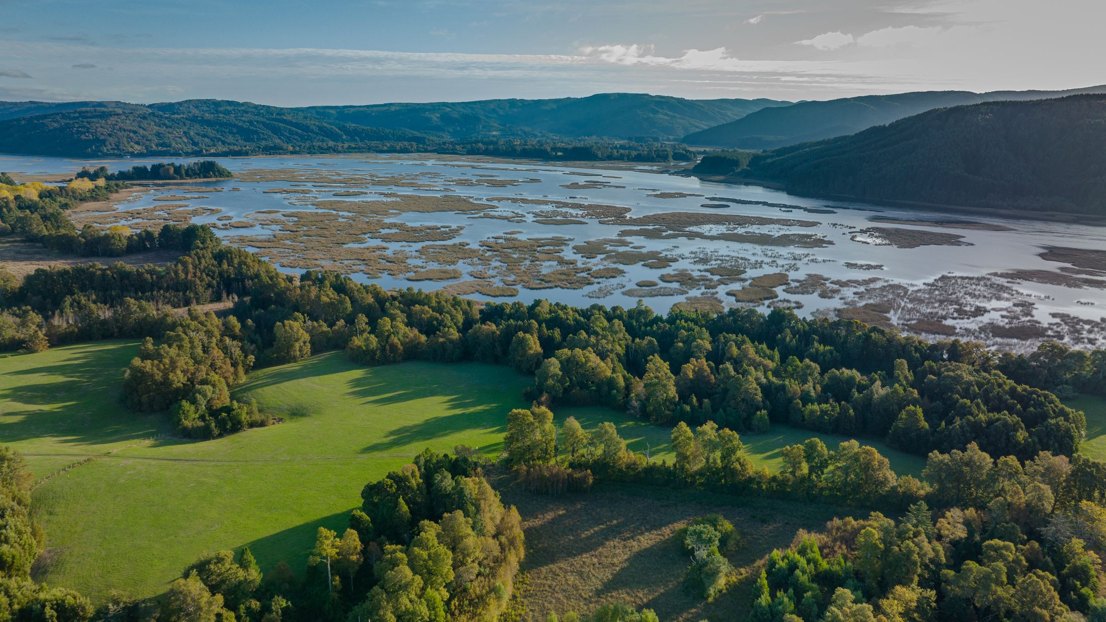
Optical imagery can track spectral differences associated with land cover when illumination and clouds permit. Radar backscatter responds to surface roughness, water, vegetation structure and viewing geometry; under some conditions, inundation beneath vegetation can change the scattering path. Repeat observations can help chart flood extent, shoreline movement or forest disturbance, but tide, wind, moisture and phenology can also change the return.
A wetland study therefore needs acquisition timing, hydrological context, vegetation type, terrain and suitable reference observations. A forest change analysis should distinguish harvest, fire, seasonal response and sensor geometry before assigning cause. Long time series can reveal trajectories, but gaps and mission changes should remain visible.
From observation to environmental indicator
An indicator is a derived quantity, not a direct photograph of ecosystem condition. Its definition, calibration, spatial support and ecological validation determine whether it answers a monitoring question. Radar and optical measurements can complement each other when their different physical sensitivities are accounted for.
ViewPiece's interest is in the analytical chain that can turn repeated observations into a testable environmental record, with limitations attached to the result.