
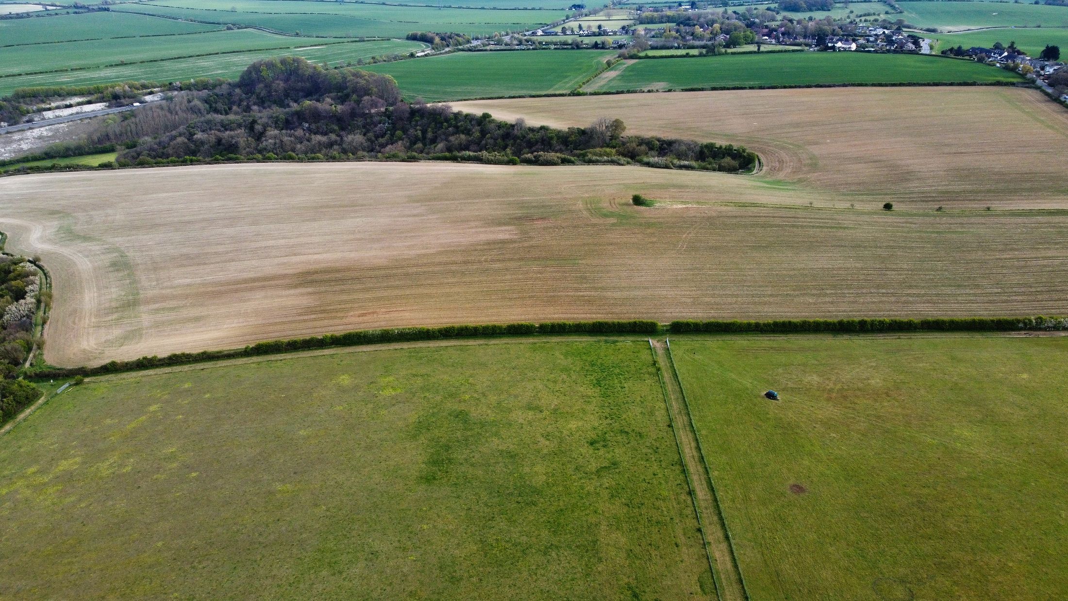
A field is an evolving scattering system. Radar response changes with crop structure, canopy water, soil moisture, row direction, tillage and incidence angle—sometimes in ways that correlate with growth, but never as a universal crop-health reading.
How the crop enters the radar return
At shorter wavelengths, leaves and small branches can contribute strongly; longer wavelengths interact differently with stems, trunks and sometimes the ground beneath the canopy. Polarisation helps describe how the wave was transmitted and received, adding clues about scattering mechanisms. Soil moisture changes dielectric properties, while crop growth changes the number, orientation and water content of scatterers.
These signals are entangled. A brightening could reflect growth, wet soil, changed geometry or management. A useful study identifies crop and phenological stage, aligns acquisitions, accounts for weather and compares the satellite record with field measures such as biomass, canopy structure or soil moisture.
What repeated observations can contribute
Time series can describe seasonal trajectories and help identify when fields behave differently from a baseline. They can inform research on crop development or water conditions where calibrated data and local validation are available. They do not by themselves provide a universal yield prediction or prescribe farm action.
The opportunity is to combine radar's all-weather acquisition potential with optical, meteorological and ground observations in a transparent, crop-specific experiment.