
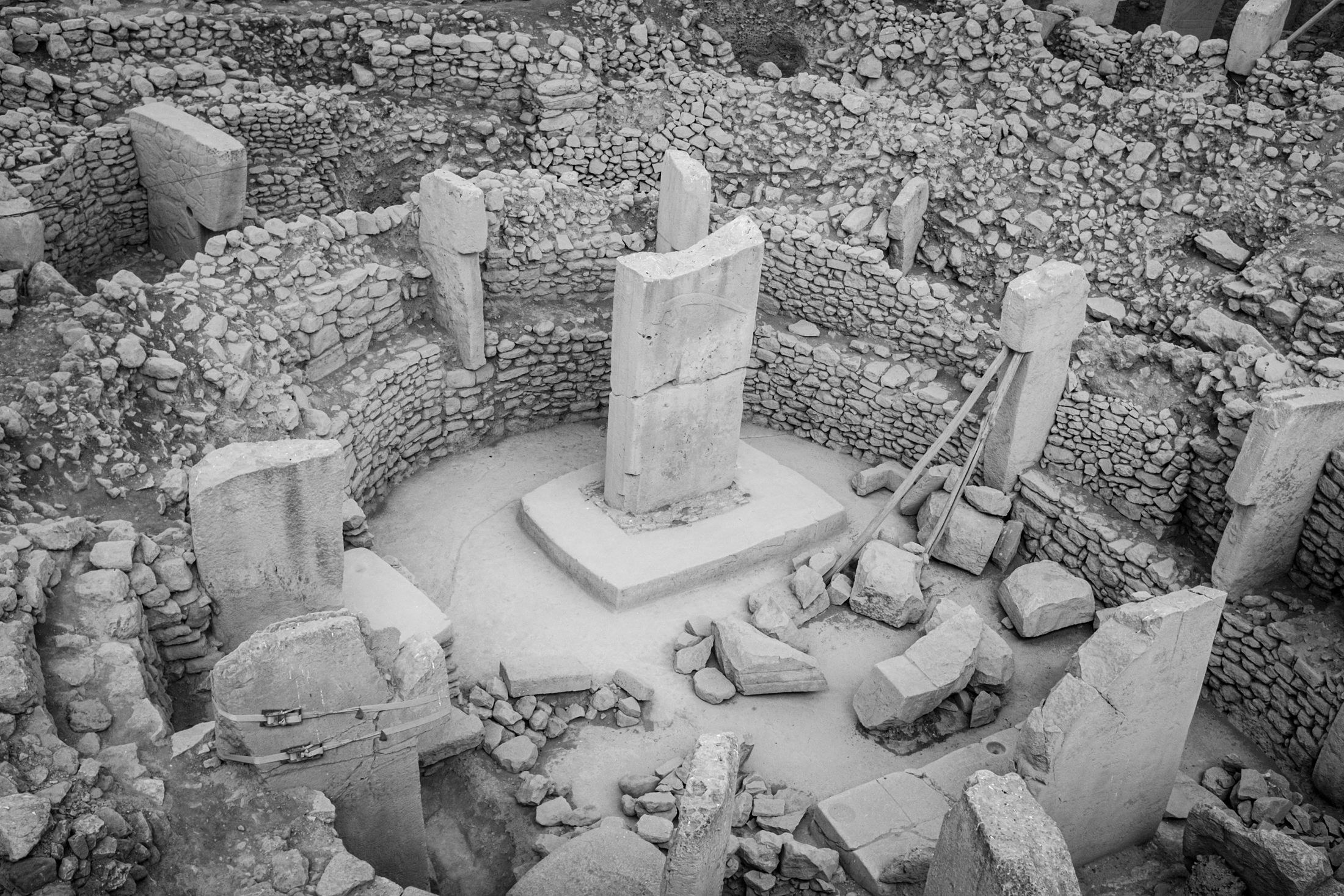
The landscape can preserve evidence of human history long after its meaning disappears from ordinary view. Remote sensing helps archaeologists notice patterns, place them in context and decide where further investigation is warranted.
From aerial photograph to landscape system
Aerial photography changed archaeology by revealing crop marks, soil marks and alignments across broad areas. Satellite optical imagery, lidar-derived terrain models and computational analysis extend that perspective: researchers can compare land cover, terrain form and change across a wider landscape. Radar adds a different measurement—microwave scattering shaped by surface structure, moisture, geometry and wavelength. It may contribute where optical conditions or the research question make another observation useful.
Radar is not a general-purpose underground camera. Claims about buried remains require specific physical conditions and independent corroboration. A surface anomaly, a modelled feature and an excavated discovery are different evidence states.
Four steps from pattern to evidence
A visible or measured form in imagery or terrain data.
A pattern that differs from its surroundings or expected history.
A proposed explanation compared with historical and environmental context.
A conclusion supported by appropriate fieldwork, geophysics or excavation.
Computational observation can help prioritise survey, monitor erosion or encroachment, and examine how a site relates to water, terrain and settlement patterns. It should work with archaeologists, heritage authorities and local communities; it cannot substitute for their expertise or for field verification.
A documented landscape study: Angkor
A 2007 research team examined the greater Angkor region using satellite imagery, airborne radar, aerial photography and field observations. Their analysis mapped a large urban landscape around the monumental core and compared mapped features with environmental and archaeological evidence. The combination mattered: no single image established the interpretation, and the study used a conservative standard for deciding which features to include.
This is a useful model for responsible remote-sensing archaeology: multiple kinds of evidence, explicit interpretation criteria and ground-based knowledge. It does not imply that radar can reveal arbitrary buried structures.

The scientific opportunity is not to declare hidden history from an image. It is to make the landscape's evidence easier to ask better questions of.