
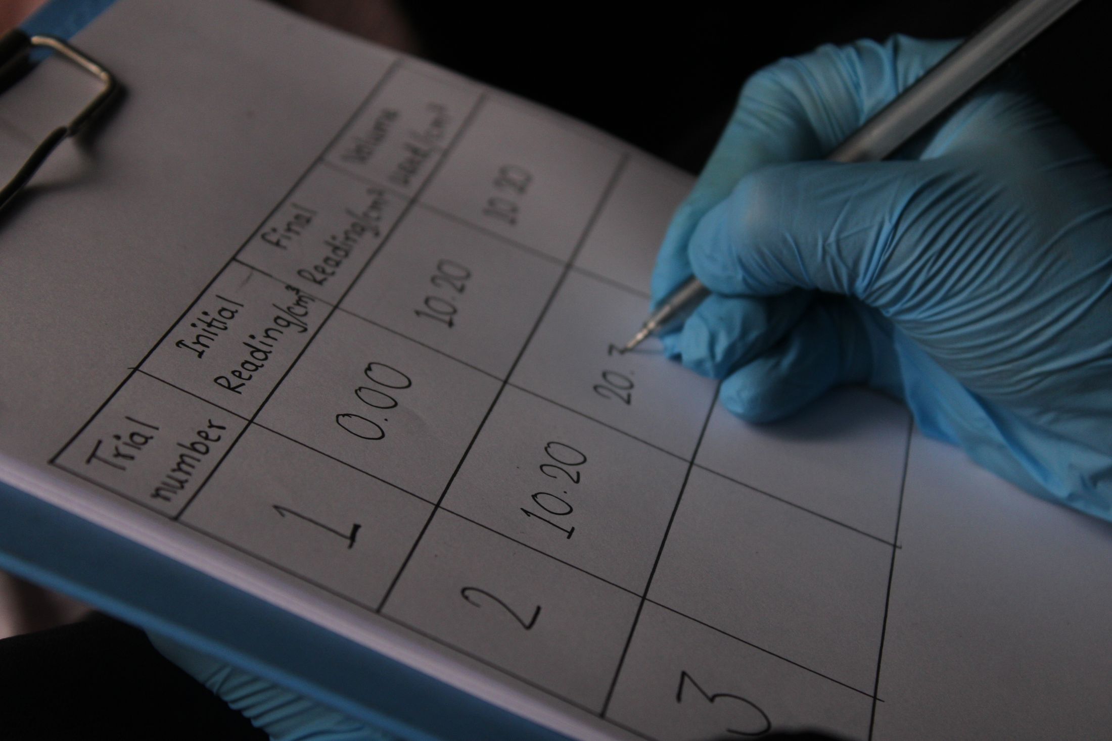
Validation is the bridge between a technically elegant method and a result that can responsibly inform a decision. It begins before the analysis, by deciding what evidence would count and how failure will be recognised.
Choose a reference independent of the method
Ground truth may come from GNSS, levelling, field surveys, optical measurements, calibrated corner reflectors, laboratory targets or an authoritative event record. The reference must match the measured quantity, location and time closely enough for a meaningful comparison. If it shares the same assumptions or processing chain as the estimate, it may not provide an independent check.
Test performance in the conditions that matter
Report bias, dispersion, confidence intervals and spatial coverage alongside aggregate metrics. Stratify results by land cover, terrain, season, acquisition geometry and coherence where those conditions affect performance. Include exclusions, false positives, missing data and failure cases. Hold out sites or dates where possible to see whether the method generalises beyond the examples used to develop it.
Evidence before claims
Calibration relates instrument output to a reference. Validation assesses whether a derived product is fit for a defined purpose. Neither can establish a universal guarantee. Model sensitivity, uncertainty in the reference and the consequences of an incorrect interpretation all belong in the report.
ViewPiece currently publishes no benchmark or performance threshold. Any future claim should be traceable to a documented dataset, protocol, independent review and stated scope.